Tocht Te voet The Municipal District of Muinebeag - 
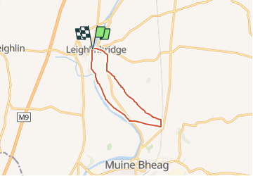
Rathellen Slí na Sláinte - Photo

Tous les sentiers balisés d’Europe GUIDE+

© OpenStreetMap contributors
Lengte
Lengte
7,7 km
Max. hoogte
Max. hoogte
61 m
Positief hoogteverschil
50 m
Km-Effort
Km-Effort  
8,4 km
Min. hoogte
Min. hoogte
37 m
Negatief hoogteverschil
50 m
Boucle
Boucle
Ja
Markering
Markering
Datum van aanmaak :
2025-02-06 12:30:53.977
Laatste wijziging :
2025-02-06 12:30:53.977

(0 Bericht)

Te voet
Te voet
1h54
Moeilijkheid : Gemakkelijk

Scan deze QR-code om de tocht te openen in de SityTrail-applicatie

Gratisgps-wandelapplicatie

Logo SityTrail SityTrail

IGN / Geografische instituten

SityTrail uit de App Store downloaden SityTrail uit Google Play downloaden

Logo SityTrail SityTrail Plus

De wereld gaat voor u open

SityTrail uit de App Store downloaden SityTrail uit Google Play downloaden SityTrail op Huawei AppGallery downloaden

Over ons

Tocht Te voet van 7,7 km beschikbaar op Onbekend, County Carlow, The Municipal District of Muinebeag. Deze tocht wordt voorgesteld door SityTrail - itinéraires balisés pédestres.

Beschrijving

Tocht aangemaakt door Slí na Sláinte - Irish Heart Foundation.
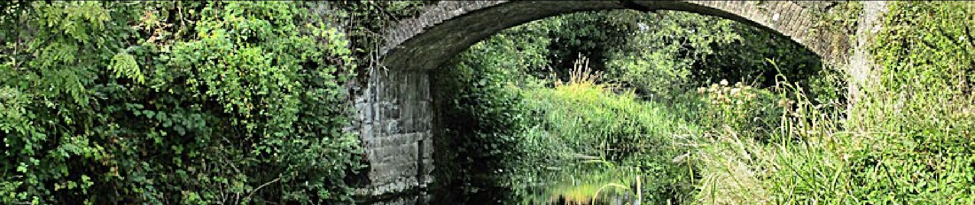
Hoogteprofiel

Foto's

Plaatsbepaling

Land:
Ireland
Regio :
Onbekend
Departement/Provincie :
County Carlow
Gemeente :
The Municipal District of Muinebeag
Locatie:
Leighlinbridge ED
Vertrek:(UTM)
636528 ; 5844844 (29U) N.


Sluiten
Mijn abonnementen